Climbing Mount Chimborazo Riobamba, Ecuador
Altitude is something you need to get used to while in Ecuador. On average we were always somewhere near 10,000 ft (3,048 m) elevation during our visit. For those of us who are used to being closer to sea level (Toronto is only 250 ft above sea level), this is a hard change on the body. Everything just feels more physically demanding.
Most of us had taken medication to guard against altitude sickness prior to arriving in Ecuador and to help acclimatize our bodies to the elevation. But even that didn't prepare us for how we'd feel during our visit to the mountain today.
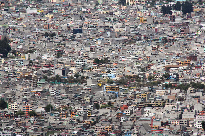
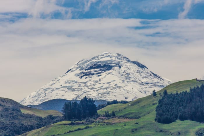
From the day we landed in Quito, we had seen this snow-covered mountain in the distance. Mount Chimborazo was a constant reference point, visible from far away. With an elevation of 20,548 ft (6,263 m), it's nothing to sneer at. Visiting the mountain wasn't part of our original itinerary, but after a few days of relative inactivity, we were looking for something more physical.
Reaching the entry gate
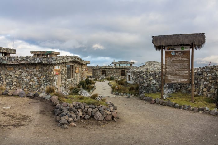
Of course, we're really just a bunch of tourists—we're not mountain climbers. Not that we had any intention of ‘climbing the mountain’ because we were in no physical condition for such an activity. From Riobamba, we slowly drove up and around the mountain to reach the entrance gate where we were greeted with the sign: Reserva de Producción Faunistíca—Wildlife Production Reserve (at 14,000 ft elevation). This alone took about 1.5 hrs to arrive.
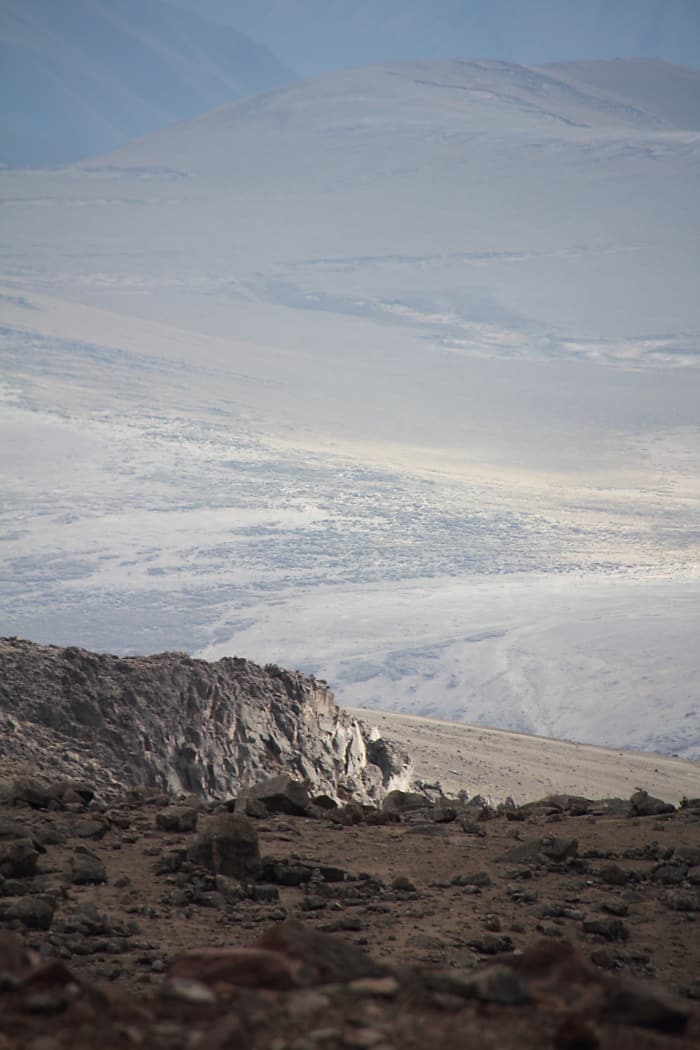
At this elevation the landscape became more of a barren wasteland with little vegetation. This hillside was effectively sand and rocks and looked entirely inhospitable.
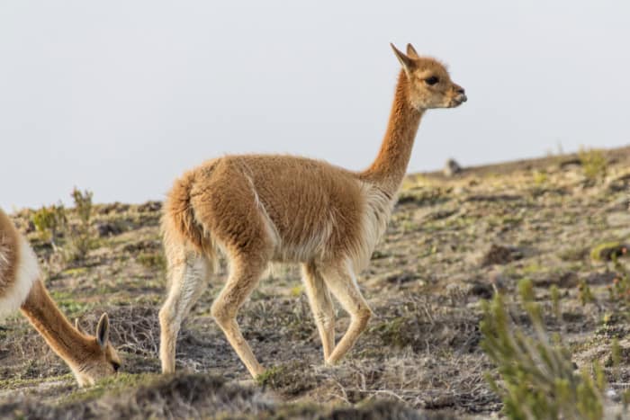
However, there was one species that seemed to flourish here—likely because it has no natural predators here. We'd never seen this animal before, and I'd describe it as something like a cross between a llama and a deer: the vicuña. You can find more photos and read all about vicuñas and their history on Wikipedia.
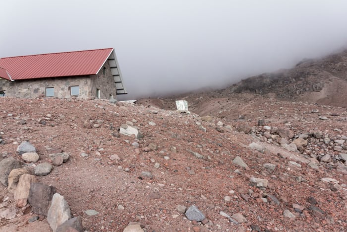
Refugio Carrel
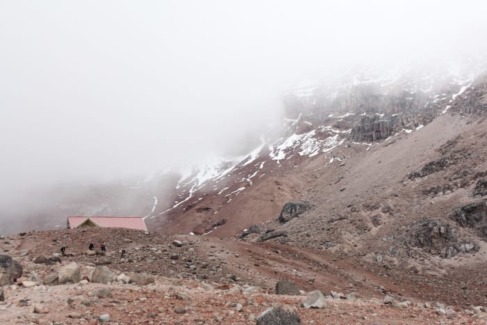
We were approaching the end of the road and arriving at Refugio Carrel. This is a small cabin at the end of road which had supplies for climbers, as well as a small cafe where you could sit and have a drink. This was the location where climbers on an expedition would begin their journey. No vehicles could drive higher than this point.
Refugio Carrel is at approximately 15,000 ft elevation. Some people were now starting to notice reactions to the altitude. And by that I mean they were noticeably short of breath, lightheaded or even nauseous and knew well enough to just sit down, relax and not attempt anything physical. There was no questioning the fact that we were really high above sea level now.
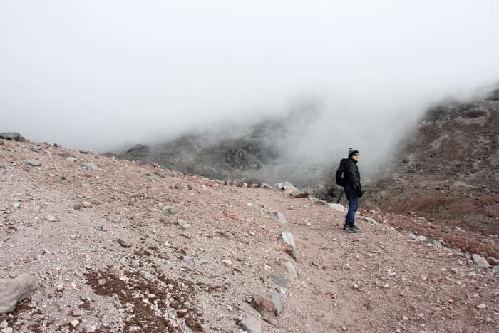
As you'd expect at this elevation, the air was thin and cool. The view of the landscape was amazing and we were literally in the clouds. Earlier in the week when we'd stayed in Guamote, we were still at a high elevation. But because all of the surrounding landscape was similar, it didn't really feel like it.
A not-so-happy welcoming view
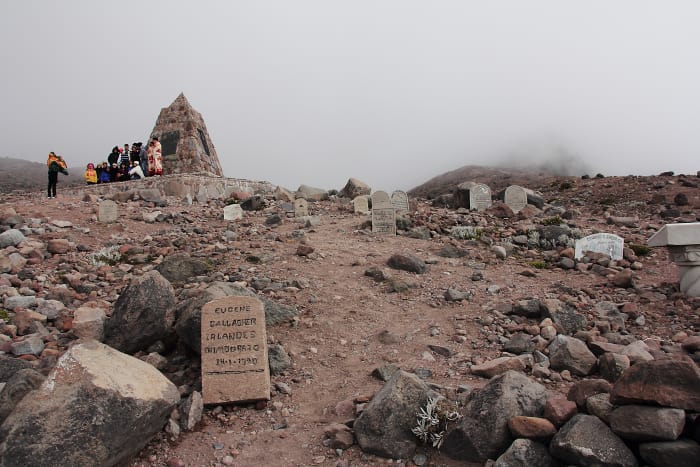
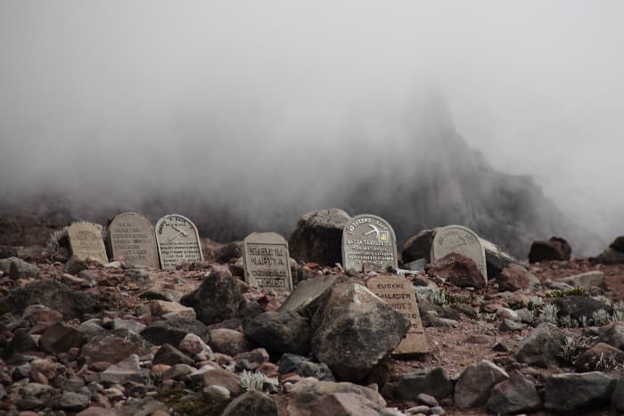
From Refugio Carrel, at the beginning of the hike up to Refugio Whymper, you're greeted with…tombstones. These are spread across the landscape here in memory of climbers who died on the mountain. There is also a monument here along with markers and additional gravestones along the way.
It definitely reminds you that climbing the mountain is a serious—and dangerous—decision.
Hiking to Refugio Whymper
A few of us decided to do the hike up to the next station (Refugio Whymper). It didn't look too hard and it was a gentle hike with a minor incline.
It was brutal.
After 20 minutes I was completely, utterly exhausted as if I was in the middle of the worst workout I'd ever had. It was gruelling and I've never felt so tired in my life. Now, clearly a big part of that is how (clearly not) in shape I was at the time. But really this was the effect of the high altitude on the body where you’re getting very minimal oxygen.
It felt like I was taking a break every 10 to 15 steps which was both ridiculous and infuriating, because it didn't look like a difficult climb. I could feel my pulse racing as body tried to get oxygen (and to be honest, it was a little distressing to hear and feel your pulse working so hard).
I was carrying my cameras, backpack, some food, a sweater—nothing crazy. I can't imagine doing it with climbing and camping gear. Clearly I'm not in shape for this!
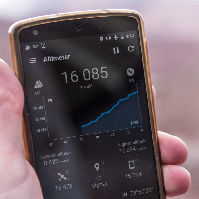
Eventually (after 40 minutes of exhaustion) I made it. At 16,100 feet above sea level I'd arrived at Refugio Whymper.
Back to Refugio Carrel
And now? Get back down to where I was because it's time to leave with the group!
Going down was far, far easier but I still had to be careful. The return trip was a cross between being in awe of the landscape and views from this height and trying to have enough energy to not fall over in the process.
I can't say I've been anywhere before that compares to this. It was peaceful, but also a little eerie due to the solitude. You're truly all alone way up here. It would be nice to have had much time to just sit and take it all in. Maybe next time!